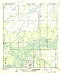
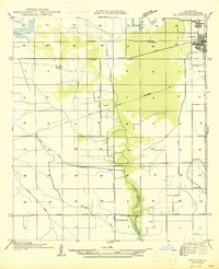
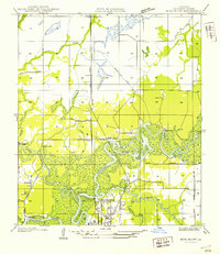
1955 Map of Westlake
USGS Topo · Published 1989About this map
The industrial and maritime landscape of Calcasieu Parish is prominently displayed on this map, dominated by the Calcasieu River and the engineered Calcasieu Ship Channel. The mid-century development of the region is evident in the sprawling Oil Refinery and the Lockport Oil and Gas Field, highlighting the area's role in the Gulf Coast's petroleum economy. Residential centers such as Westlake, Sulphur, and the planned community of Maplewood are bisected by the heavy rail infrastructure of the Kansas City Southern and Southern Pacific railroads.
Find a feature on this map
49 named features on this map. Tap any name to fly to it.
Don’t see what you’re looking for? This feature index may not catch every label — zoom into the map to look around manually.
Map Details
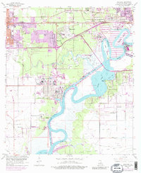
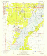
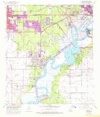
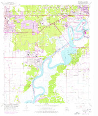
Editions of this 1955 Westlake Map
4 editions found
Other maps of this area

1932 · Moss Lake
USGS Topo · 1:31,680

1932 · Lake Charles NW
USGS Topo · 1:31,680

1932 · Lake Charles SW
USGS Topo · 1:31,680

1935 · Buhler
USGS Topo · 1:31,680
1935 · Moss Bluff
USGS Topo · 1:31,680

1942 · Lake Charles
USGS Topo · 1:62,500

1946 · Moss Lake
USGS Topo · 1:31,680
1947 · Sulphur
USGS Topo · 1:31,680
1947 · Moss Bluff
USGS Topo · 1:31,680

1947 · Sulphur Mines
USGS Topo · 1:31,680