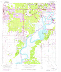
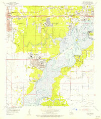
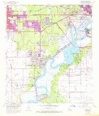
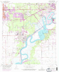
1955 Map of Westlake
USGS Topo · Published 1976About this map
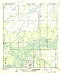
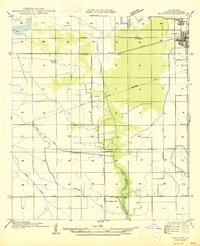
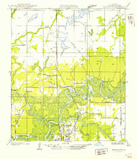
Industrial expansion and maritime trade define this coastal Louisiana landscape during the mid-20th century. The Calcasieu Ship Channel dominates the waterway network, facilitating heavy industry like the massive Oil Refinery and the Lockport Oil and Gas Field. The map reveals the growth of Westlake and Sulphur, with newer residential developments in Maplewood and Hollywood appearing alongside established landmarks like the Lake Charles Country Club.
Find a feature on this map
52 named features on this map. Tap any name to fly to it.
Don’t see what you’re looking for? This feature index may not catch every label — zoom into the map to look around manually.
Map Details
Editions of this 1955 Westlake Map
4 editions found
Other maps of this area

1932 · Moss Lake
USGS Topo · 1:31,680

1932 · Lake Charles NW
USGS Topo · 1:31,680

1932 · Lake Charles SW
USGS Topo · 1:31,680

1935 · Buhler
USGS Topo · 1:31,680
1935 · Moss Bluff
USGS Topo · 1:31,680

1942 · Lake Charles
USGS Topo · 1:62,500

1946 · Moss Lake
USGS Topo · 1:31,680
1947 · Sulphur
USGS Topo · 1:31,680
1947 · Moss Bluff
USGS Topo · 1:31,680

1947 · Sulphur Mines
USGS Topo · 1:31,680