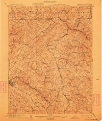
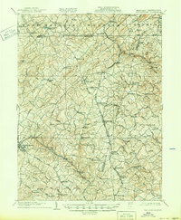
1905 Map of Westminster
USGS Topo · Published 1911About this map
Westminster serves as the focal point for this early twentieth-century survey of the Maryland-Pennsylvania borderlands. The landscape is defined by the headwaters of the North Branch Patapsco River and Gunpowder Falls, with numerous smaller drainages like Indian Run and Georges Run carving through the terrain near Dug Hill Ridge. The region’s economic life is visible through the concentration of mills and railroad infrastructure, including Crave Run Mills and the Western Maryland R. R. which connects the primary hubs of Manchester and Hampstead.
Find a feature on this map
112 named features on this map. Tap any name to fly to it.
Don’t see what you’re looking for? This feature index may not catch every label — zoom into the map to look around manually.
Map Details
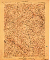
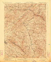
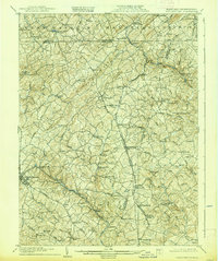
Editions of this 1905 Westminster Map
6 editions found
Other maps of this area

1892 · Ellicott
USGS Topo · 1:62,500

1893 · Frederick
USGS Topo · 1:125,000

1894 · Ellicott
USGS Topo · 1:62,500

1894 · Baltimore
USGS Topo · 1:62,500

1894 · Frederick
USGS Topo · 1:125,000

1899 · Baltimore
USGS Topo · 1:62,500

1900 · Parkton
USGS Topo · 1:62,500

1902 · Parkton
USGS Topo · 1:62,500

1904 · Baltimore
USGS Topo · 1:62,500

1905 · Westminster
USGS Topo · 1:62,500