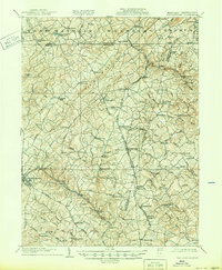
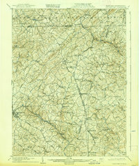
1905 Map of Westminster
USGS Topo · Published 1950About this map
Dug Hill Ridge forms a prominent spine through this landscape, dividing the headwaters of the Patapsco River from the northern drainage toward the S Br Codorus Creek. At the dawn of the twentieth century, the region was defined by a dense network of milling sites and small settlements clustered around the Western Maryland RR. The industrial geography is marked by numerous family-named operations, including Bachman Mills, Grave Run Mills, and Richards Mill, which served the surrounding agricultural communities.
Find a feature on this map
106 named features on this map. Tap any name to fly to it.
Don’t see what you’re looking for? This feature index may not catch every label — zoom into the map to look around manually.
Map Details
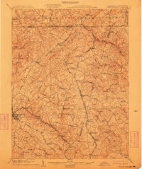
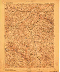
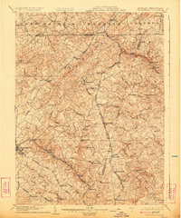
Editions of this 1905 Westminster Map
6 editions found
Other maps of this area

1892 · Ellicott
USGS Topo · 1:62,500

1893 · Frederick
USGS Topo · 1:125,000

1894 · Ellicott
USGS Topo · 1:62,500

1894 · Baltimore
USGS Topo · 1:62,500

1894 · Frederick
USGS Topo · 1:125,000

1899 · Baltimore
USGS Topo · 1:62,500

1900 · Parkton
USGS Topo · 1:62,500

1902 · Parkton
USGS Topo · 1:62,500

1904 · Baltimore
USGS Topo · 1:62,500

1905 · Westminster
USGS Topo · 1:62,500