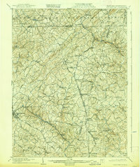
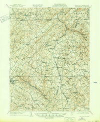
1905 Map of Westminster
USGS Topo · Published 1939About this map
The Maryland and Pennsylvania borderlands appear here as a densely settled agricultural and industrial landscape at the dawn of the twentieth century. The Western Maryland Railroad and Pennsylvania Railroad anchor the region's transport network, cutting through the prominent elevation of Dug Hill Ridge. This topography is defined by the headwaters of the Patapsco River North Branch and several branches of S B Codorus Creek, which powered a decentralized economy of local industry.
Find a feature on this map
110 named features on this map. Tap any name to fly to it.
Don’t see what you’re looking for? This feature index may not catch every label — zoom into the map to look around manually.
Map Details
Editions of this 1905 Westminster Map
6 editions found
Other maps of this area

1892 · Ellicott
USGS Topo · 1:62,500

1893 · Frederick
USGS Topo · 1:125,000

1894 · Ellicott
USGS Topo · 1:62,500

1894 · Baltimore
USGS Topo · 1:62,500

1894 · Frederick
USGS Topo · 1:125,000

1899 · Baltimore
USGS Topo · 1:62,500

1900 · Parkton
USGS Topo · 1:62,500

1902 · Parkton
USGS Topo · 1:62,500

1904 · Baltimore
USGS Topo · 1:62,500

1905 · Westminster
USGS Topo · 1:62,500