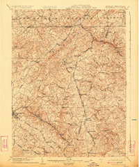
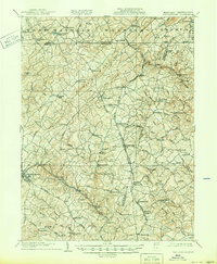
1905 Map of Westminster
USGS Topo · Published 1924About this map
Westminster serves as a hub for this turn-of-the-century landscape, where the border between Carroll County and Pennsylvania is defined by the high ground of Dug Hill Ridge. The region's economy at the time of this survey was heavily tied to its waterways and rail lines, with numerous milling operations such as Grave Run Mills, Bachman Mills, and Hoffmans Mill located along the winding creeks and runs. The Western Maryland R.R. and the Baltimore and Harrisburg Division provide the primary transit corridors, connecting small settlements like Lineboro, Manchester, and Beckleysville.
Find a feature on this map
100 named features on this map. Tap any name to fly to it.
Don’t see what you’re looking for? This feature index may not catch every label — zoom into the map to look around manually.
Map Details
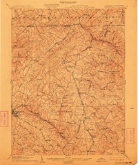
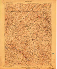
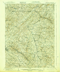
Editions of this 1905 Westminster Map
6 editions found
Other maps of this area

1892 · Ellicott
USGS Topo · 1:62,500

1893 · Frederick
USGS Topo · 1:125,000

1894 · Ellicott
USGS Topo · 1:62,500

1894 · Baltimore
USGS Topo · 1:62,500

1894 · Frederick
USGS Topo · 1:125,000

1899 · Baltimore
USGS Topo · 1:62,500

1900 · Parkton
USGS Topo · 1:62,500

1902 · Parkton
USGS Topo · 1:62,500

1904 · Baltimore
USGS Topo · 1:62,500

1905 · Westminster
USGS Topo · 1:62,500