
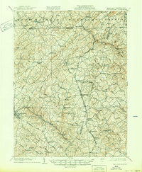
1905 Map of Westminster
USGS Topo · Published 1905About this map
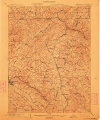
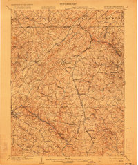
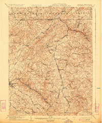
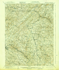
Westminster serves as a primary hub of commerce and transportation in early twentieth-century Maryland, anchored by the critical corridor of the Western Maryland RR. The landscape is a network of milling operations and rural districts, including Manchester District and Woolery District No 4. Small industrial settlements like Bachman Mills, Grave Run Mills, and Hoffmans Mill are situated along the drainage of Gunpowder Falls and the Patapsco River, illustrating the era's reliance on water power for local economy.
Find a feature on this map
89 named features on this map. Tap any name to fly to it.
Don’t see what you’re looking for? This feature index may not catch every label — zoom into the map to look around manually.
Map Details
Editions of this 1905 Westminster Map
6 editions found
Other maps of this area

1892 · Ellicott
USGS Topo · 1:62,500

1893 · Frederick
USGS Topo · 1:125,000

1894 · Ellicott
USGS Topo · 1:62,500

1894 · Baltimore
USGS Topo · 1:62,500

1894 · Frederick
USGS Topo · 1:125,000

1899 · Baltimore
USGS Topo · 1:62,500

1900 · Parkton
USGS Topo · 1:62,500

1902 · Parkton
USGS Topo · 1:62,500

1904 · Baltimore
USGS Topo · 1:62,500

1906 · Ellicott
USGS Topo · 1:62,500