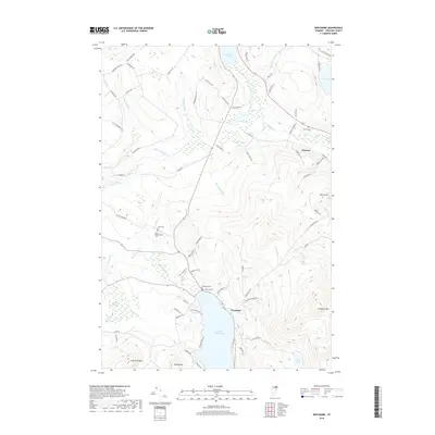
2018 Map of Westmore
USGS Topo · Published 2018About this map
Lake Willoughby dominates the southern landscape of this Orleans County survey, flanked by the prominent heights of Goodwin Mtn and Valley Mtn. The settlement of Westmore sits near the northern shore of the lake, serving as a hub for local routes like Hinton Hill Rd and Blueberry Point Ln. To the north, the village of Orleans establishes a more concentrated residential footprint near the Clyde River, which winds through a complex network of wetlands and smaller basins including Toad Pond and Pensioner Pond. For those researching local family histories, the map identifies several distinct burial grounds, such as Blyhill Cem near the eastern border and both the East Cem and East Brownington Cem located along the western reaches of the quadrangle near Brownington Br.
Find a feature on this map
77 named features on this map. Tap any name to fly to it.
Don’t see what you’re looking for? This feature index may not catch every label — zoom into the map to look around manually.
Map Details
Editions of this 2018 Westmore Map
This is the sole edition of this map. No revisions or reprints were ever made.
Other maps of this area

1919 · Lake Memphremagog
USGS Topo · 1:62,500

1920 · Derby
USGS Topo · 1:62,500

1923 · Lake Memphremagog
USGS Topo · 1:48,000

1924 · Island Pond
USGS Topo · 1:48,000

1925 · Memphremagog
USGS Topo · 1:62,500

1926 · Island Pond
USGS Topo · 1:62,500

1935 · Lyndonville
USGS Topo · 1:48,000

1939 · Lyndonville
USGS Topo · 1:62,500

1950 · Lake Champlain
USGS Topo · 1:250,000

1950 · Lewiston
USGS Topo · 1:250,000