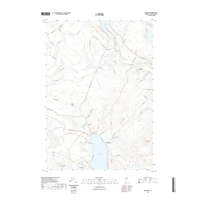
2021 Map of Westmore
USGS Topo · Published 2021About this map
Lake Willoughby defines the southern portion of this landscape, its deep waters framed by the steep rises of Goodwin Mtn and Mount Pisgah to the east. The village of Westmore sits at the northern tip of the lake, serving as a gateway to the high elevation terrain that characterizes this part of Orleans County. To the north, the terrain softens into a network of wetlands and brooks, including Stillwater Swamp and the headwaters of the Willoughby River, which winds toward the northwest.
Find a feature on this map
79 named features on this map. Tap any name to fly to it.
Don’t see what you’re looking for? This feature index may not catch every label — zoom into the map to look around manually.
Map Details
Editions of this 2021 Westmore Map
This is the sole edition of this map. No revisions or reprints were ever made.
Other maps of this area

1919 · Lake Memphremagog
USGS Topo · 1:62,500

1920 · Derby
USGS Topo · 1:62,500

1923 · Lake Memphremagog
USGS Topo · 1:48,000

1924 · Island Pond
USGS Topo · 1:48,000

1925 · Memphremagog
USGS Topo · 1:62,500

1926 · Island Pond
USGS Topo · 1:62,500

1935 · Lyndonville
USGS Topo · 1:48,000

1939 · Lyndonville
USGS Topo · 1:62,500

1950 · Lake Champlain
USGS Topo · 1:250,000

1950 · Lewiston
USGS Topo · 1:250,000