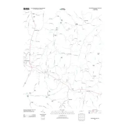
2013 Map of Westmoreland
USGS Topo · Published 2013About this map
Westmoreland serves as the primary hub in this northern Tennessee landscape, where the town's grid meets the curving paths of Wix Br and Davis Br. The topography is defined by a dense network of named hollows, including Stillhouse Hollow, Copper Hollow, and Sugar Camp Hollow, suggesting a history of specialized land use tucked into the terrain. Smaller settlements like Siloam, New Zion, and Rocky Mound are connected by a web of local roads such as Pleasant Grove Rd and Rocky Mound Rd, illustrating the dispersed residential patterns typical of the region.
Find a feature on this map
156 named features on this map. Tap any name to fly to it.
Don’t see what you’re looking for? This feature index may not catch every label — zoom into the map to look around manually.
Map Details
Editions of this 2013 Westmoreland Map
This is the sole edition of this map. No revisions or reprints were ever made.
Other maps of this area

1928 · Adolphus
USGS Topo · 1:48,000

1931 · Lafayette
USGS Topo · 1:62,500

1931 · Adolphus
USGS Topo · 1:62,500

1942 · Gallatin
USGS Topo · 1:100,000

1954 · Petroleum
USGS Topo · 1:24,000

1954 · Holland
USGS Topo · 1:24,000

1954 · Adolphus
USGS Topo · 1:24,000

1955 · Bethpage
USGS Topo · 1:24,000

1956 · Nashville
USGS Topo · 1:250,000

1958 · Westmoreland
USGS Topo · 1:24,000