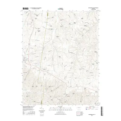
2016 Map of Westmoreland
USGS Topo · Published 2016About this map
Westmoreland serves as a central hub in this modern topographic landscape, where the ridges of north-central Tennessee are deeply etched by a network of drainage basins and named hollows. The terrain is characterized by a high density of ancestral burial grounds, including the Caldwell Cem in the north and the Alvis - Shrum Cem further south, reflecting generations of family settlement. Small communities like Siloam, New Zion, and Eulia are connected by a web of rural routes such as Austin Peay Hwy and Pike Cem road.
Find a feature on this map
160 named features on this map. Tap any name to fly to it.
Don’t see what you’re looking for? This feature index may not catch every label — zoom into the map to look around manually.
Map Details
Editions of this 2016 Westmoreland Map
This is the sole edition of this map. No revisions or reprints were ever made.
Other maps of this area

1928 · Adolphus
USGS Topo · 1:48,000

1931 · Lafayette
USGS Topo · 1:62,500

1931 · Adolphus
USGS Topo · 1:62,500

1942 · Gallatin
USGS Topo · 1:100,000

1954 · Petroleum
USGS Topo · 1:24,000

1954 · Holland
USGS Topo · 1:24,000

1954 · Adolphus
USGS Topo · 1:24,000

1955 · Bethpage
USGS Topo · 1:24,000

1956 · Nashville
USGS Topo · 1:250,000

1958 · Westmoreland
USGS Topo · 1:24,000