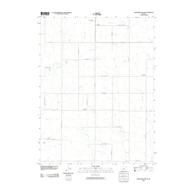
2009 Map of Westmoreland NE
USGS Topo · Published 2009About this map
Saint Michaels Cemetery and Wheaton Cemetery anchor the northern landscape of this rural Kansas survey, reflecting the area's deep-rooted agricultural community. The terrain is defined by a dendritic network of waterways, including Mill Creek, Indian Creek, and Rock Creek, which dictate the placement of the section-line road grid. The presence of several family or congregational burial grounds, such as Saint Lukes Cemetery and Fairview Cemetery, offers significant value for genealogists tracing 19th and 20th-century settlement patterns.
Find a feature on this map
33 named features on this map. Tap any name to fly to it.
Don’t see what you’re looking for? This feature index may not catch every label — zoom into the map to look around manually.
Map Details
Editions of this 2009 Westmoreland NE Map
This is the sole edition of this map. No revisions or reprints were ever made.
Other maps of this area

1889 · Seneca
USGS Topo · 1:125,000

1889 · Wamego
USGS Topo · 1:125,000

1894 · Seneca
USGS Topo · 1:125,000

1894 · Wamego
USGS Topo · 1:125,000

1955 · Manhattan
USGS Topo · 1:250,000

1956 · Manhattan
USGS Topo · 1:250,000

1957 · Manhattan
USGS Topo · 1:250,000
1964 · Louisville
USGS Topo · 1:24,000
1964 · Westmoreland
USGS Topo · 1:24,000
1964 · Laclede
USGS Topo · 1:24,000