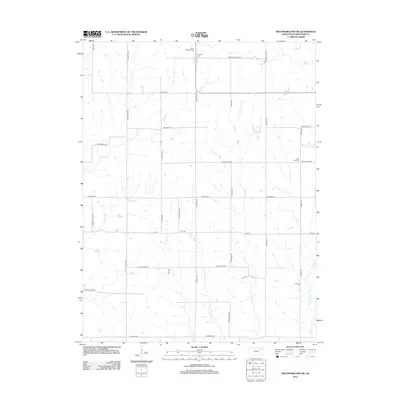
2012 Map of Westmoreland NE
USGS Topo · Published 2012About this map
Wheaton and the surrounding rural townships of Pottawatomie County are defined by a network of creeks and prairie roads in this early 21st-century survey. The landscape is carved by watercourses including Mill Cr in the north and the extensive drainage of E Fork Adams Cr to the south. Local history is anchored by several burial grounds, such as Saint Michaels Cem and Wheaton Cem, which serve as permanent records of the families who settled this agricultural region.
Find a feature on this map
36 named features on this map. Tap any name to fly to it.
Don’t see what you’re looking for? This feature index may not catch every label — zoom into the map to look around manually.
Map Details
Editions of this 2012 Westmoreland NE Map
This is the sole edition of this map. No revisions or reprints were ever made.
Other maps of this area

1889 · Seneca
USGS Topo · 1:125,000

1889 · Wamego
USGS Topo · 1:125,000

1894 · Seneca
USGS Topo · 1:125,000

1894 · Wamego
USGS Topo · 1:125,000

1955 · Manhattan
USGS Topo · 1:250,000

1956 · Manhattan
USGS Topo · 1:250,000

1957 · Manhattan
USGS Topo · 1:250,000
1964 · Louisville
USGS Topo · 1:24,000
1964 · Westmoreland
USGS Topo · 1:24,000
1964 · Laclede
USGS Topo · 1:24,000