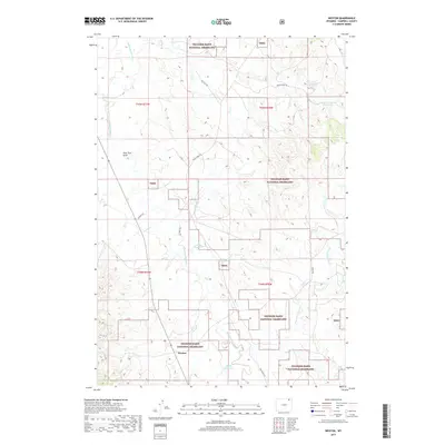
2017 Map of Weston
USGS Topo · Published 2017About this map
Weston is situated within the high plains of Campbell County, framed by the expansive tracts of the Thunder Basin National Grassland. The landscape is defined by the winding course of the Little Powder River, which cuts through the western portion of the quadrangle. This 2017 survey reflects the persistent ranching and energy infrastructure of northeastern Wyoming, evidenced by a network of named tracks such as Oil Field Rd, Rocky Point Rd, and Soda Wells Rd. Several small reservoirs, including Snyder Homestead Reservoir, Pippin Reservoir, and Nettie Reservoir, suggest the critical importance of water management in this arid terrain. The drainage patterns of the Dry Fork Spring Cr and Pine Tree Draw provide additional detail for those studying the physical geography or land-use history of this section of the Powder River Basin.
Find a feature on this map
21 named features on this map. Tap any name to fly to it.
Don’t see what you’re looking for? This feature index may not catch every label — zoom into the map to look around manually.
Map Details
Editions of this 2017 Weston Map
This is the sole edition of this map. No revisions or reprints were ever made.
Other maps of this area

1954 · Gillette
USGS Topo · 1:250,000

1955 · Gillette
USGS Topo · 1:250,000

1958 · Gillette
USGS Topo · 1:250,000

1962 · Gillette
USGS Topo · 1:250,000
1972 · Oliver Draw
USGS Topo · 1:24,000
1972 · Tuttle Draw
USGS Topo · 1:24,000
1972 · Bowman Hill
USGS Topo · 1:24,000
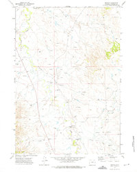
1972 · Weston
USGS Topo · 1:24,000
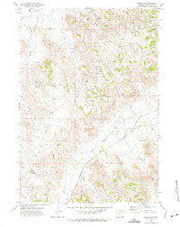
1972 · Weston SW
USGS Topo · 1:24,000
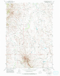
1972 · Lone Tree Creek
USGS Topo · 1:24,000