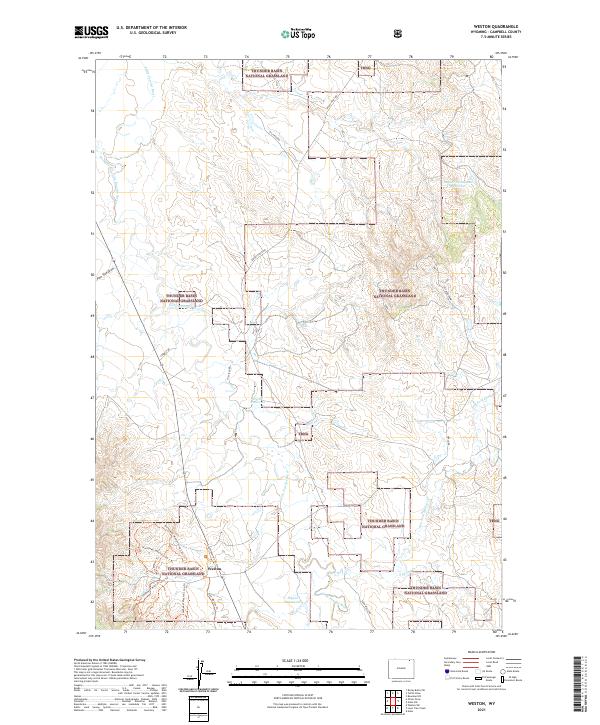
2021 Map of Weston
USGS Topo · Published 2021About this map
Weston sits at a junction of trails and ranch roads in Campbell County, where the landscape is defined by the sweeping expanse of the Thunder Basin National Grassland. The Little Powder River meanders through the western half of the territory, serving as a vital water source for a region marked by numerous named catchments such as Snyder Homestead Reservoir, Nettie Reservoir, and Pippin Reservoir. The road network, including Oil Field Rd and Soda Wells Rd, points to the industrial legacy of the area, while a series of modern trails like the Northwest Weston Loop 1 Tri and Southwest Weston Loop Tri radiate from the settlement. This 2021 map details the persistence of traditional ranching boundaries and the integration of recreation within the public lands of the high plains.
Find a feature on this map
28 named features on this map. Tap any name to fly to it.
Don’t see what you’re looking for? This feature index may not catch every label — zoom into the map to look around manually.
Map Details
Editions of this 2021 Weston Map
This is the sole edition of this map. No revisions or reprints were ever made.
Other maps of this area

1954 · Gillette
USGS Topo · 1:250,000

1955 · Gillette
USGS Topo · 1:250,000

1958 · Gillette
USGS Topo · 1:250,000

1962 · Gillette
USGS Topo · 1:250,000
1972 · Oliver Draw
USGS Topo · 1:24,000
1972 · Tuttle Draw
USGS Topo · 1:24,000
1972 · Bowman Hill
USGS Topo · 1:24,000
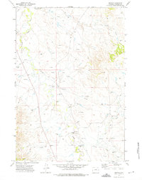
1972 · Weston
USGS Topo · 1:24,000
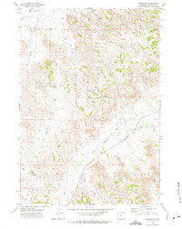
1972 · Weston SW
USGS Topo · 1:24,000
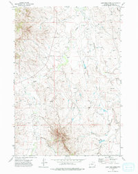
1972 · Lone Tree Creek
USGS Topo · 1:24,000