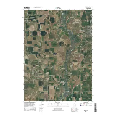
2017 Map of Weston
USGS Topo · Published 2017About this map
The Bear River meanders through the heart of Franklin County, defining a complex agricultural landscape where water management is central to the local economy. This 2017 survey details a sophisticated network of irrigation infrastructure, including the Twin Lakes Canal E Lateral, the Cache Canal, and the Upper Canal, which support the farms surrounding the settlements of Preston and Weston. The terrain is marked by the distinct transition from the river bottomlands to the elevated benches where Fivemile Creek and Weston Creek flow toward the main river channel.
Find a feature on this map
54 named features on this map. Tap any name to fly to it.
Don’t see what you’re looking for? This feature index may not catch every label — zoom into the map to look around manually.
Map Details
Editions of this 2017 Weston Map
This is the sole edition of this map. No revisions or reprints were ever made.
Other maps of this area

1914 · Logan
USGS Topo · 1:125,000

1915 · Preston
USGS Topo · 1:96,000

1916 · Logan
USGS Topo · 1:125,000

1918 · Preston
USGS Topo · 1:125,000

1954 · Pocatello
USGS Topo · 1:250,000

1954 · Ogden
USGS Topo · 1:250,000

1954 · Brigham City
USGS Topo · 1:250,000

1955 · Preston
USGS Topo · 1:250,000

1958 · Ogden
USGS Topo · 1:250,000

1958 · Pocatello
USGS Topo · 1:250,000