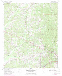
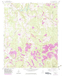
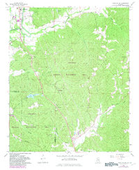
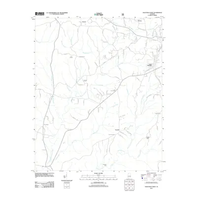
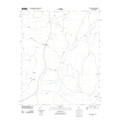
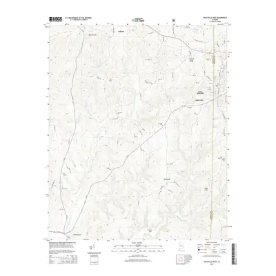
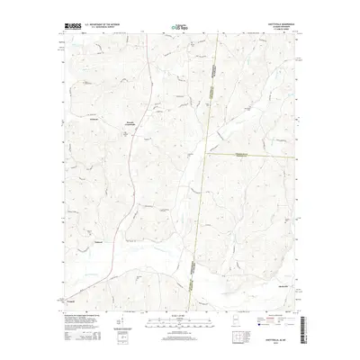
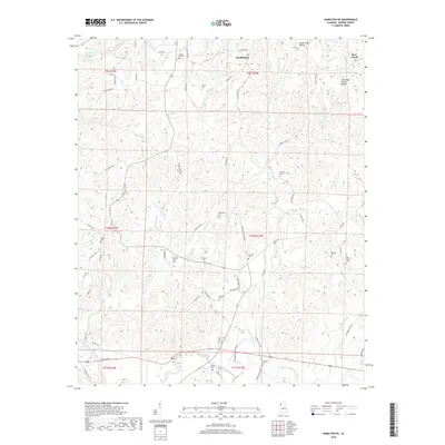
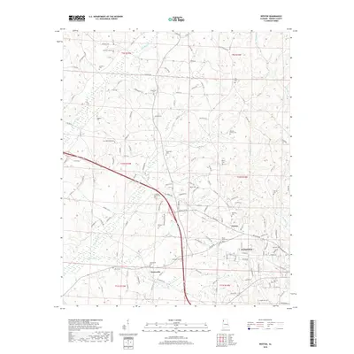
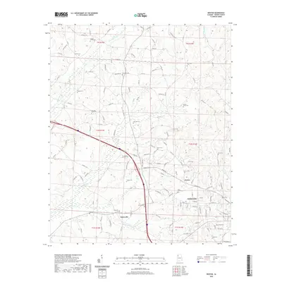
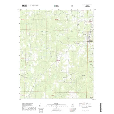
1967 Map of Weston
USGS Topo · Published 1982About this map
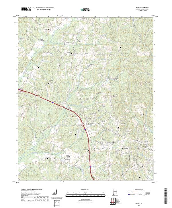
The Old Indian Treaty Boundary slices diagonally across this portion of Marion County, marking a fundamental division in the 19th-century settlement of Alabama. This 1967 survey, with revisions from the early 1980s, reveals a landscape defined by small rural communities like Weston, Barnesville, and Boardtree. The abundance of local family names on landmarks, such as Nix Chapel Cem and Taylor Cem, suggests a deeply rooted genealogical history. Education and faith are central to the map's geography, anchored by the Gravel Springs Sch and numerous country churches including Happy Hill Ch and Bethlehem Ch. The terrain is drained by a network of small waterways including Hurricane Creek and Reese Branch, while numerous labels for Gravel Pit indicate the local extractive industry that helped shape the modern road network.
Find a feature on this map
42 named features on this map. Tap any name to fly to it.
Don’t see what you’re looking for? This feature index may not catch every label — zoom into the map to look around manually.
Map Details
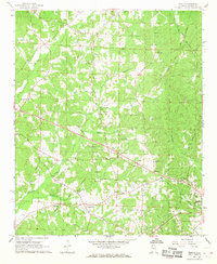
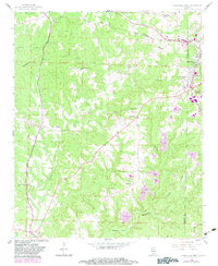
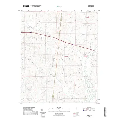
Editions of this 1967 Weston Map
2 editions found
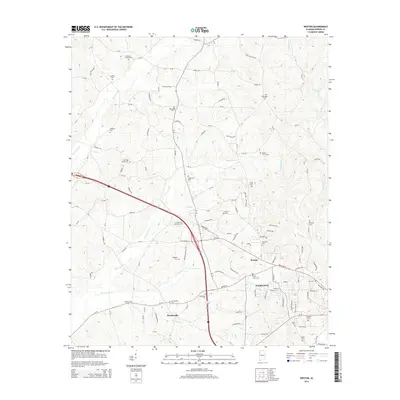
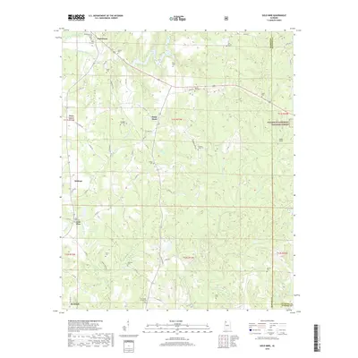
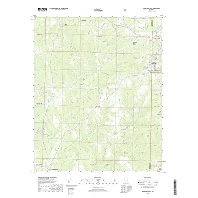
Historical Maps of Hamilton Through Time
49 maps found
1936 Goddard
Marion County, AL
1936 South Of Hackleburg
Marion County, AL
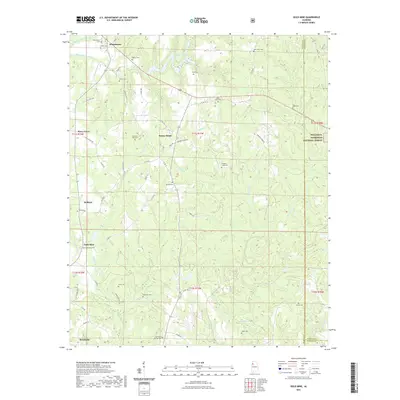
1958 Gold Mine
Marion County, AL
1958 Haleyville West
Marion County, AL
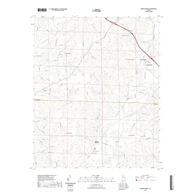
1967 Bexar
Marion County, AL
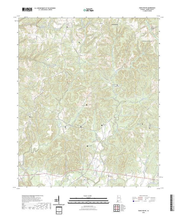
1967 Hamilton NE
Marion County, AL
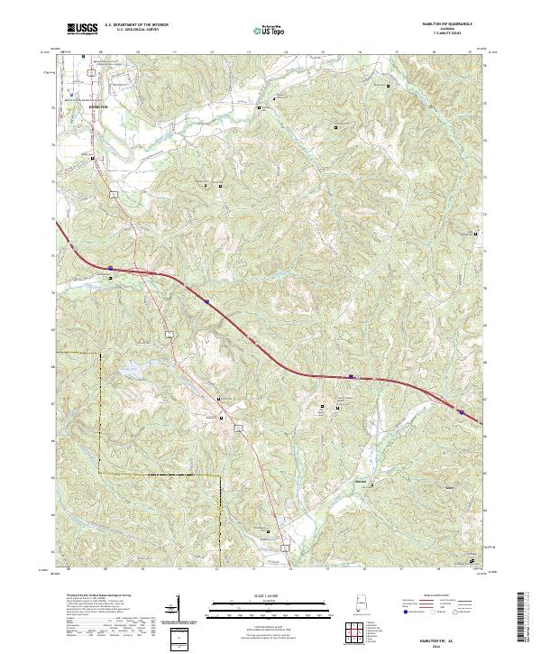
1967 Hamilton SW
Marion County, AL
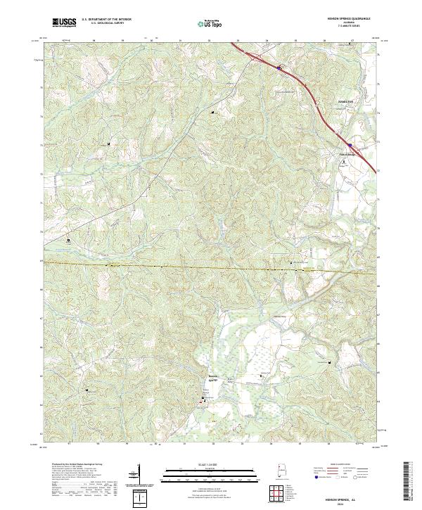
1967 Henson Springs
Marion County, AL
1967 Weston
Marion County, AL
2011 Bexar
Marion County, AL
2011 Gold Mine
Marion County, AL
2011 Haleyville West
Marion County, AL
2011 Hamilton NE
Marion County, AL
2011 Hamilton SW
Marion County, AL
2011 Henson Springs
Marion County, AL
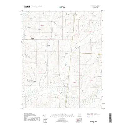
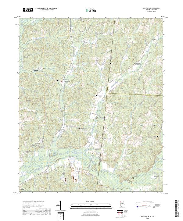
2011 Shottsville
Marion County, AL
2011 Weston
Marion County, AL
2014 Bexar
Marion County, AL
2014 Gold Mine
Marion County, AL
2014 Haleyville West
Marion County, AL
2014 Hamilton NE
Marion County, AL
2014 Hamilton SW
Marion County, AL
2014 Henson Springs
Marion County, AL
2014 Shottsville
Marion County, AL
2014 Weston
Marion County, AL

2018 Bexar
Marion County, AL
2018 Gold Mine
Marion County, AL
2018 Haleyville West
Marion County, AL
2018 Hamilton NE
Marion County, AL
2018 Hamilton SW
Marion County, AL
2018 Henson Springs
Marion County, AL
2018 Shottsville
Marion County, AL
2018 Weston
Marion County, AL
2020 Bexar
Marion County, AL
2020 Hamilton NE
Marion County, AL
2020 Hamilton SW
Marion County, AL
2020 Henson Springs
Marion County, AL
2020 Shottsville
Marion County, AL
2020 Weston
Marion County, AL
2021 Gold Mine
Marion County, AL
2021 Haleyville West
Marion County, AL
2024 Bexar
Marion County, AL
2024 Gold Mine
Marion County, AL
2024 Haleyville West
Marion County, AL
2024 Hamilton NE
Marion County, AL
2024 Hamilton SW
Marion County, AL
2024 Henson Springs
Marion County, AL
2024 Shottsville
Marion County, AL
2024 Weston
Marion County, AL