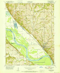
1951 Map of Weston
USGS Topo · Published 1951About this map
The Missouri River meanders across the border of Missouri and Kansas in this mid-century survey, creating a landscape of dynamic bends and fertile islands. Along the northeastern bluffs, the town of Weston is the primary hub, served by the Chicago Burlington and Quincy railroad line that tracks closely along the riverbank. This era of the landscape is defined by its rural infrastructure, featuring family-named locations such as Burrus School and Hawkins Cemetery that served the upland farming communities of Marshall and Weston townships.
Find a feature on this map
46 named features on this map. Tap any name to fly to it.
Don’t see what you’re looking for? This feature index may not catch every label — zoom into the map to look around manually.
Map Details
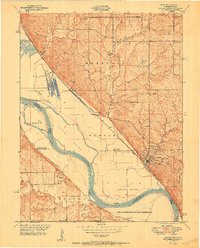
Editions of this 1951 Weston Map
2 editions found
Other maps of this area

1885 · Atchison
USGS Topo · 1:125,000

1886 · Oskaloosa
USGS Topo · 1:125,000

1888 · Oskaloosa
USGS Topo · 1:125,000

1888 · Atchison
USGS Topo · 1:125,000

1890 · Kansas City
USGS Topo · 1:125,000

1893 · Atchison
USGS Topo · 1:125,000

1894 · Kansas City
USGS Topo · 1:125,000

1894 · Oskaloosa
USGS Topo · 1:125,000

1910 · Leavenworth
USGS Topo · 1:62,500

1926 · Atchison
USGS Topo · 1:62,500