Loading...
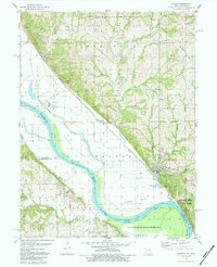
Loading map...1961 Map of Weston
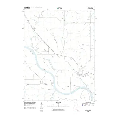
USGS Topo · Published 1976About this map
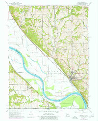
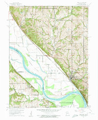
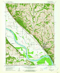
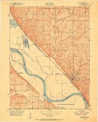
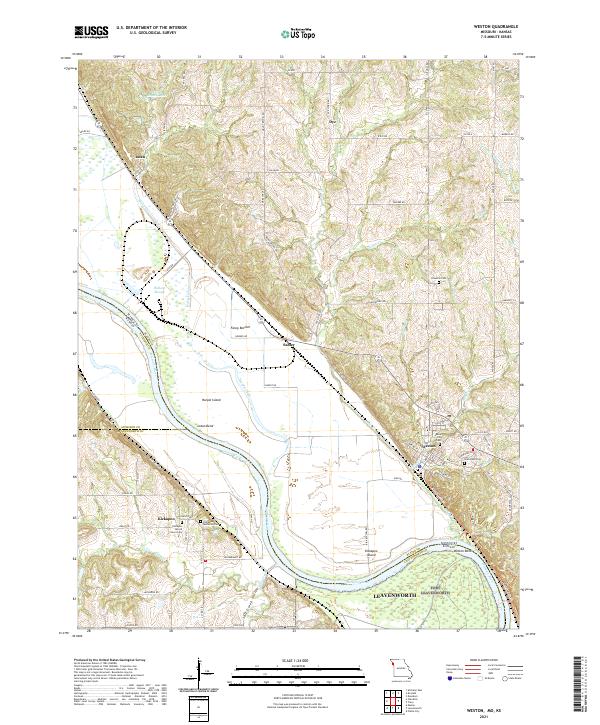
The Missouri River forms a shifting boundary between Missouri and Kansas, carving a complex landscape of islands and bends. In the eastern portion of the map, the town of Weston serves as a local hub, with its streets leading to Graceland Cem and various river-adjacent industries. The river's influence is evident in the formation of large landmasses like Weston Island, Kickapoo Island, and Harpst Island, which are separated from the mainland by narrow channels such as Harpst Chute.
Find a feature on this map
40 named features on this map. Tap any name to fly to it.
Don’t see what you’re looking for? This feature index may not catch every label — zoom into the map to look around manually.
Map Details
Date Portrayed1961
Date Published1976
PublisherU.S. Geological Survey
Map TypeTopographic
Scale1:24,000
Physical Dimensions21.9 x 26.8 inches
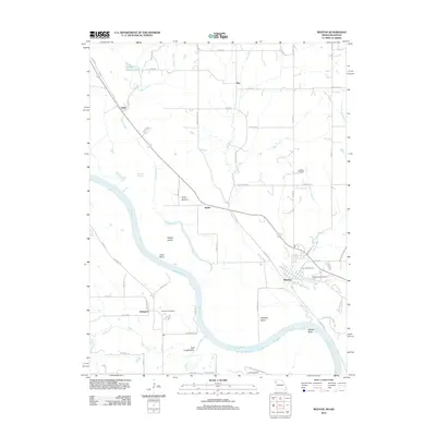
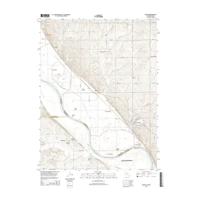
Editions of this 1961 Weston Map
3 editions found
Historical Maps of Leavenworth Through Time
8 maps found
Featured Locations
Source Details
SourceU.S. Geological Survey
CopyrightPublic Domain