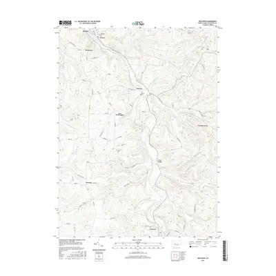
2016 Map of Westover
USGS Topo · Published 2016About this map
Chest Creek meanders through the heart of this Clearfield County landscape, carving a valley that anchors a series of small, historic communities. The settlement pattern here is tied closely to the waterway and the surrounding ridges, with Westover situated in the south and Mahaffey at the northern edge. Significant genealogical resources are scattered throughout the hills, including Mahaffey Cem, La Jose Cem, and Cross Cem, marking the heritage of the local population. Small hamlets like New Washington, Newburg, and Ostend are connected by a network of rural routes such as Five Points Rd and Sawmill Run Rd. The terrain is defined by numerous drainage systems like Snyder Run, Wilson Run, and Kings Run, which feed into the main creek. This topographic study captures the traditional rural character of central Pennsylvania, where legacy family names are often reflected in the local landmarks and small crossroads communities like Five Points and Harmony.
Find a feature on this map
73 named features on this map. Tap any name to fly to it.
Don’t see what you’re looking for? This feature index may not catch every label — zoom into the map to look around manually.
Map Details
Editions of this 2016 Westover Map
This is the sole edition of this map. No revisions or reprints were ever made.
Other maps of this area

1902 · Patton
USGS Topo · 1:62,500

1902 · Barnesboro
USGS Topo · 1:62,500

1903 · Curwensville
USGS Topo · 1:62,500

1904 · Barnesboro
USGS Topo · 1:62,500

1904 · Patton
USGS Topo · 1:62,500

1906 · Punxsutawney
USGS Topo · 1:62,500

1939 · Curwensville
USGS Topo · 1:62,500

1939 · Punxsutawney
USGS Topo · 1:62,500

1942 · Curwensville
USGS Topo · 1:62,500

1942 · Punxsutawney
USGS Topo · 1:62,500