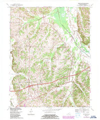
1969 Map of Westplains
USGS Topo · Published 1988About this map
West Fork Clarks River snakes through the eastern portion of this Graves County landscape, defining the wide agricultural flats of the Casey Bottoms. The terrain is characterized by a series of north-flowing drainage systems, including Turkey Creek and Trace Creek, which separate small upland settlements like Westplains and Clear Springs. This 1960s-era topography, updated with later aerial data, reveals a high density of country churches and rural landmarks, from Shelton Chapel to the Pryor Chapel, suggesting a deeply rooted community structure before the major expansion of modern infrastructure. The Tennessee Valley Divide cuts through the southwestern corner, near where the Mayfield-Graves County Airport and the Julian M Carroll Parkway represent the mid-century modernization of the region's transportation network.
Find a feature on this map
32 named features on this map. Tap any name to fly to it.
Don’t see what you’re looking for? This feature index may not catch every label — zoom into the map to look around manually.
Map Details
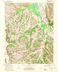
Editions of this 1969 Westplains Map
2 editions found
Other maps of this area

1936 · Farmington
USGS Topo · 1:24,000

1936 · Melber
USGS Topo · 1:24,000

1936 · Oak Level
USGS Topo · 1:24,000

1936 · Elva
USGS Topo · 1:24,000

1936 · Symsonia
USGS Topo · 1:24,000

1936 · Benton
USGS Topo · 1:48,000

1936 · Westplains
USGS Topo · 1:24,000

1936 · Kirksey
USGS Topo · 1:24,000

1951 · Kirksey
USGS Topo · 1:24,000

1951 · Farmington
USGS Topo · 1:24,000