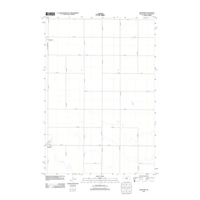
2012 Map of Westport
USGS Topo · Published 2012About this map
Westport and its immediate surroundings are defined by the grid of the northern plains and the meandering path of the Elm River. This South Dakota survey documents the community at its traditional crossing, where Main St and 4th St form the core of the local street plan. Further north, the settlement of Barnard is situated along Barnard Rd, where a Po serves as a vital point of local infrastructure. The landscape is largely an agricultural expanse, organized by a rigid system of section-line roads like 387th Ave and 120th St. The Elm River provides the only major break in this geometry, winding its way southeast through the township and influencing the early placement of these rural centers.
Find a feature on this map
22 named features on this map. Tap any name to fly to it.
Don’t see what you’re looking for? This feature index may not catch every label — zoom into the map to look around manually.
Map Details
Editions of this 2012 Westport Map
This is the sole edition of this map. No revisions or reprints were ever made.
Other maps of this area

1894 · Ellendale
USGS Topo · 1:62,500

1894 · Columbia
USGS Topo · 1:62,500

1894 · Savo
USGS Topo · 1:62,500

1896 · Columbia
USGS Topo · 1:125,000

1899 · Ellendale
USGS Topo · 1:125,000

1952 · Columbia
USGS Topo · 1:24,000

1952 · Ordway
USGS Topo · 1:24,000

1952 · Columbia NE
USGS Topo · 1:24,000

1952 · Westport
USGS Topo · 1:24,000

1952 · Richmond NE
USGS Topo · 1:24,000