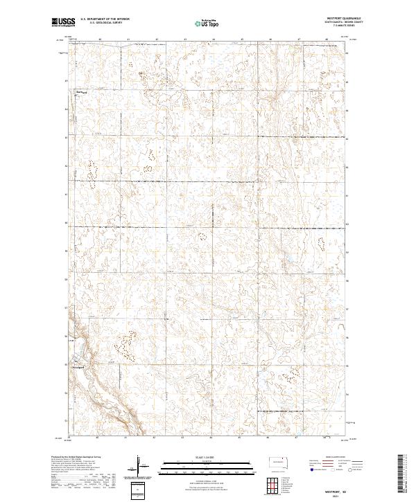
2021 Map of Westport
USGS Topo · Published 2021About this map
Westport sits in the southwestern portion of this map, its grid organized around the Elm River as it meanders through the prairie landscape. To the north, the small settlement of Barnard marks the intersection of Main St and Co Rd 7, serving as a localized hub for the surrounding agricultural sections. The map reveals a highly structured landscape defined by the Public Land Survey System, with townships like t125n r64w and t126n r63w meticulously divided by a network of section line roads including 389th Ave and 115th St. This area of Brown County is characterized by numerous small depressions and seasonal water bodies scattered across the fields, illustrating the typical drainage patterns of the James River Valley. The presence of established county routes like Co Rd 14 highlights the enduring importance of road transport for these rural communities.
Find a feature on this map
24 named features on this map. Tap any name to fly to it.
Don’t see what you’re looking for? This feature index may not catch every label — zoom into the map to look around manually.
Map Details
Editions of this 2021 Westport Map
This is the sole edition of this map. No revisions or reprints were ever made.
Other maps of this area

1894 · Ellendale
USGS Topo · 1:62,500

1894 · Columbia
USGS Topo · 1:62,500

1894 · Savo
USGS Topo · 1:62,500

1896 · Columbia
USGS Topo · 1:125,000

1899 · Ellendale
USGS Topo · 1:125,000

1952 · Columbia
USGS Topo · 1:24,000

1952 · Ordway
USGS Topo · 1:24,000

1952 · Columbia NE
USGS Topo · 1:24,000

1952 · Westport
USGS Topo · 1:24,000

1952 · Richmond NE
USGS Topo · 1:24,000