
1958 Map of Westport
USGS Topo · Published 1959About this map
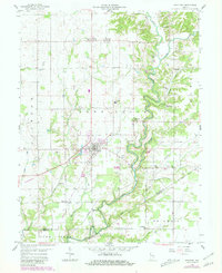
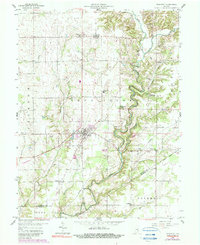
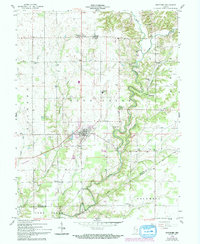
The town of Westport serves as the central hub of this late-1950s landscape, positioned at the intersection of the New York Central and the Chicago Milwaukee St Paul and Pacific railroads. The area's geography is defined by the winding course of Sand Creek, which carves deep valleys through the eastern sections, notably at Horseshoe Bend. An interesting historical boundary, the Old Indian Treaty Bdy, cuts diagonally across the southern half of the map, marking an earlier era of frontier demarcation.
Find a feature on this map
49 named features on this map. Tap any name to fly to it.
Don’t see what you’re looking for? This feature index may not catch every label — zoom into the map to look around manually.
Map Details
Editions of this 1958 Westport Map
4 editions found
Other maps of this area

1942 · Columbus
USGS Topo · 1:125,000

1953 · Cincinnati
USGS Topo · 1:250,000

1957 · Cincinnati
USGS Topo · 1:250,000

1957 · Butlerville
USGS Topo · 1:24,000

1957 · North Vernon
USGS Topo · 1:24,000

1958 · Greensburg
USGS Topo · 1:24,000

1958 · Millhousen
USGS Topo · 1:24,000

1958 · Forest Hill
USGS Topo · 1:24,000

1958 · Hartsville
USGS Topo · 1:24,000

1958 · Grammer
USGS Topo · 1:24,000