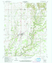
1958 Map of Westport
USGS Topo · Published 1994About this map
Westport serves as the primary hub in this portion of Decatur and Jennings Counties, where the local landscape is deeply defined by the winding course of Sand Creek. The area’s early history is etched into the terrain by the Old Indian Treaty Bdy, which cuts diagonally across the southern half of the sheet. Small agricultural crossroads like Gaynorsville, Letts Corner, and Rodney are interspersed with several rural congregations and burying grounds, including Burks Chapel Cem and Freedonia Ch. The map documents a shift in transportation, showing both active railroad lines and sections of an Old Railroad Grade. Notable landmarks like the Covered Bridge on Sand Creek and the Township Sch provide specific points of interest for those tracing the development of these Indiana townships during the mid-20th century.
Find a feature on this map
49 named features on this map. Tap any name to fly to it.
Don’t see what you’re looking for? This feature index may not catch every label — zoom into the map to look around manually.
Map Details
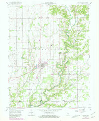
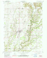
Editions of this 1958 Westport Map
4 editions found
Other maps of this area

1942 · Columbus
USGS Topo · 1:125,000

1953 · Cincinnati
USGS Topo · 1:250,000

1957 · Cincinnati
USGS Topo · 1:250,000

1957 · Butlerville
USGS Topo · 1:24,000

1957 · North Vernon
USGS Topo · 1:24,000

1958 · Greensburg
USGS Topo · 1:24,000

1958 · Millhousen
USGS Topo · 1:24,000

1958 · Westport
USGS Topo · 1:24,000

1958 · Forest Hill
USGS Topo · 1:24,000

1958 · Hartsville
USGS Topo · 1:24,000