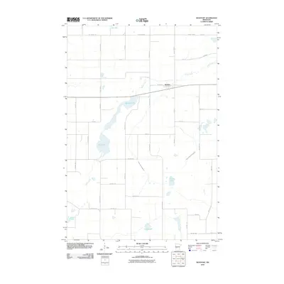
2010 Map of Westport
USGS Topo · Published 2010About this map
Westport serves as the central hub of this agricultural landscape in Pope County, defined by a series of glacial lakes and managed waterways. The settlement is oriented around Railroad Pl, which follows the east-west rail line that bisects the township. The surrounding terrain is heavily influenced by the drainage patterns of Ashley Creek, which winds through the center of the quadrangle, connecting and draining several significant water bodies including Westport Lake and Swan Lake.
Find a feature on this map
42 named features on this map. Tap any name to fly to it.
Don’t see what you’re looking for? This feature index may not catch every label — zoom into the map to look around manually.
Map Details
Editions of this 2010 Westport Map
This is the sole edition of this map. No revisions or reprints were ever made.
Other maps of this area

1953 · Saint Cloud
USGS Topo · 1:250,000

1957 · Saint Cloud
USGS Topo · 1:250,000

1958 · Saint Cloud
USGS Topo · 1:250,000

1965 · Westport
USGS Topo · 1:24,000

1965 · Padua
USGS Topo · 1:24,000

1965 · Sedan
USGS Topo · 1:24,000

1965 · Raymond Lake
USGS Topo · 1:24,000

1966 · West Union
USGS Topo · 1:24,000

1966 · Osakis
USGS Topo · 1:24,000

1966 · Forada
USGS Topo · 1:24,000