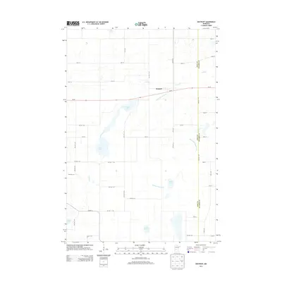
2013 Map of Westport
USGS Topo · Published 2013About this map
Westport sits at the heart of this agricultural and lake-rich landscape in Pope County. The town is oriented along MN-28, which serves as the primary east-west artery through a terrain defined by glacial depressions and drainage improvements. These natural and man-made water features are central to the area's identity, with Westport Lake and the meandering Ashley Creek shaping the local geography.
Find a feature on this map
46 named features on this map. Tap any name to fly to it.
Don’t see what you’re looking for? This feature index may not catch every label — zoom into the map to look around manually.
Map Details
Editions of this 2013 Westport Map
This is the sole edition of this map. No revisions or reprints were ever made.
Other maps of this area

1953 · Saint Cloud
USGS Topo · 1:250,000

1957 · Saint Cloud
USGS Topo · 1:250,000

1958 · Saint Cloud
USGS Topo · 1:250,000

1965 · Westport
USGS Topo · 1:24,000

1965 · Padua
USGS Topo · 1:24,000

1965 · Sedan
USGS Topo · 1:24,000

1965 · Raymond Lake
USGS Topo · 1:24,000

1966 · West Union
USGS Topo · 1:24,000

1966 · Osakis
USGS Topo · 1:24,000

1966 · Forada
USGS Topo · 1:24,000