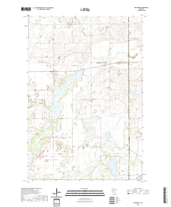
2022 Map of Westport
USGS Topo · Published 2022About this map
The settlement of Westport sits at the crossing of Co Rd 33 and Old Hwy 28, anchoring a landscape defined by the expansive Bonanza Valley. This area in Pope and Stearns counties is characterized by an intricate network of glacial lakes and drainage systems, including Westport Lake, Swan Lake, and the southern waters of Lincoln Lake. The map illustrates the modified hydrology of the region through engineered waterways like County Ditch Number Six and County Ditch Number Eleven, which direct flow between the many scattered basins such as Krantz Lake and Mud Lake. Local transit is facilitated by a grid of township roads and county routes, while Ashley Cr winds through the northern sections. This survey provides a clear view of the rural settlement patterns and water management systems essential to this part of Minnesota.
Find a feature on this map
56 named features on this map. Tap any name to fly to it.
Don’t see what you’re looking for? This feature index may not catch every label — zoom into the map to look around manually.
Map Details
Editions of this 2022 Westport Map
This is the sole edition of this map. No revisions or reprints were ever made.
Other maps of this area

1953 · Saint Cloud
USGS Topo · 1:250,000

1957 · Saint Cloud
USGS Topo · 1:250,000

1958 · Saint Cloud
USGS Topo · 1:250,000

1965 · Westport
USGS Topo · 1:24,000

1965 · Padua
USGS Topo · 1:24,000

1965 · Sedan
USGS Topo · 1:24,000

1965 · Raymond Lake
USGS Topo · 1:24,000

1966 · West Union
USGS Topo · 1:24,000

1966 · Osakis
USGS Topo · 1:24,000

1966 · Forada
USGS Topo · 1:24,000