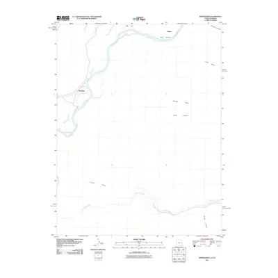
2011 Map of Westwater
USGS Topo · Published 2011About this map
The Colorado River defines the canyon-carved landscape of this 2011 survey, cutting through the high desert terrain near the Utah-Colorado border. This segment of the river includes the dramatic Ruby Canyon and the small riverside settlement of Westwater, a key access point for river travelers and a focal point for local transport history. The geography is characterized by high, flat-topped formations such as Long Mesa, Snyder Mesa, and Wrigley Mesa, which dominate the vertical relief of the region.
Find a feature on this map
14 named features on this map. Tap any name to fly to it.
Don’t see what you’re looking for? This feature index may not catch every label — zoom into the map to look around manually.
Map Details
Editions of this 2011 Westwater Map
This is the sole edition of this map. No revisions or reprints were ever made.
Other maps of this area

1885 · East Tavaputs
USGS Topo · 1:250,000

1885 · La Sal
USGS Topo · 1:250,000

1954 · Westwater 4 SW
USGS Topo · 1:24,000

1954 · Mt. Waas 1 NE
USGS Topo · 1:24,000

1954 · Mt. Waas 1 NW
USGS Topo · 1:24,000

1954 · Coates Creek
USGS Topo · 1:62,500

1956 · Westwater 4 SE
USGS Topo · 1:24,000

1956 · Moab
USGS Topo · 1:250,000

1956 · Grand Junction
USGS Topo · 1:250,000

1959 · Grand Junction
USGS Topo · 1:250,000