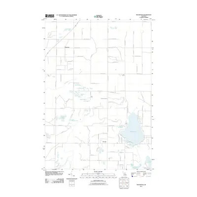
2011 Map of Westwood
USGS Topo · Published 2011About this map
Manistee Lake and Lake of the Woods anchor this corner of Antrim County, where the northern Michigan landscape is defined by its dense collection of kettle lakes and river headwaters. The small settlements of Westwood and Darragh serve as local hubs in a region shaped by outdoor recreation and rural education. Traces of early community life are preserved in the locations of the Day School, Hardy School, and Davis School, alongside the Cold Spring Cemetery.
Find a feature on this map
101 named features on this map. Tap any name to fly to it.
Don’t see what you’re looking for? This feature index may not catch every label — zoom into the map to look around manually.
Map Details
Editions of this 2011 Westwood Map
This is the sole edition of this map. No revisions or reprints were ever made.
Other maps of this area

1949 · Black Creek
USGS Topo · 1:24,000

1949 · Fletcher
USGS Topo · 1:62,500

1954 · Traverse City
USGS Topo · 1:250,000

1956 · Alba
USGS Topo · 1:62,500

1956 · Mancelona
USGS Topo · 1:62,500

1956 · Kalkaska
USGS Topo · 1:62,500

1958 · Traverse City
USGS Topo · 1:250,000

1975 · Mancelona NE
USGS Topo · 1:24,000

1975 · Mancelona NW
USGS Topo · 1:24,000

1983 · Traverse City
USGS Topo · 1:100,000