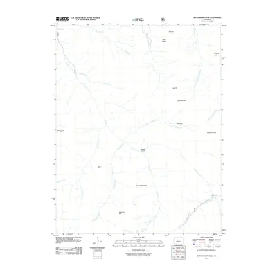
2011 Map of Wetterhorn Peak
USGS Topo · Published 2011About this map
Wetterhorn Peak and the surrounding high-altitude terrain of Ouray County define this landscape, where the headwaters of several major Cimarron River branches originate. The hydrological pattern is particularly dense, with the West Fork, Middle Fork, and East Fork Cimarron River carving deep into the mountainsides below landmarks like Dike Ridge and Precipice Peak.
Find a feature on this map
28 named features on this map. Tap any name to fly to it.
Don’t see what you’re looking for? This feature index may not catch every label — zoom into the map to look around manually.
Map Details
Editions of this 2011 Wetterhorn Peak Map
This is the sole edition of this map. No revisions or reprints were ever made.
Other maps of this area

1897 · Silverton
USGS Topo · 1:62,500

1901 · Silverton
USGS Topo · 1:62,500

1902 · Silverton
USGS Topo · 1:62,500

1902 · Ouray
USGS Topo · 1:62,500

1903 · Lake City
USGS Topo · 1:62,500

1904 · Ouray
USGS Topo · 1:62,500

1905 · Lake City
USGS Topo · 1:62,500

1905 · San Cristobal
USGS Topo · 1:125,000

1907 · San Cristobal
USGS Topo · 1:125,000

1908 · Uncompahgre
USGS Topo · 1:125,000