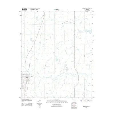
2012 Map of Wewoka East
USGS Topo · Published 2012About this map
Wewoka serves as the primary hub in this eastern Seminole County landscape, where the town's street grid meets the open country. The eastern outskirts are marked by the E Industrial Park, showing the area's modern commercial footprint alongside historic transit routes like Old Hwy 56. The terrain is defined by a dendritic drainage pattern of several creeks, most notably Wewoka Cr and its tributaries Jacobs Cr and Tiger Cr. For those researching local family history, the map identifies small, isolated burial grounds including Harjo Cem in the northeast and McCaybe Cem to the southeast. These cemeteries, along with named water bodies like Long George Cr, provide essential landmarks for tracing genealogy and land use in this part of Oklahoma.
Find a feature on this map
43 named features on this map. Tap any name to fly to it.
Don’t see what you’re looking for? This feature index may not catch every label — zoom into the map to look around manually.
Map Details
Editions of this 2012 Wewoka East Map
This is the sole edition of this map. No revisions or reprints were ever made.
Other maps of this area

1896 · Seminole and Prague
USGS Topo · 1:125,000

1900 · Wewoka
USGS Topo · 1:125,000

1954 · Oklahoma City
USGS Topo · 1:250,000

1957 · Oklahoma City
USGS Topo · 1:250,000

1963 · Oklahoma City
USGS Topo · 1:250,000

1967 · Cromwell
USGS Topo · 1:24,000

1967 · Okemah SE
USGS Topo · 1:24,000

1967 · Prague SE
USGS Topo · 1:24,000
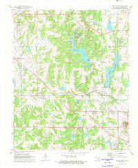
1972 · Wewoka West
USGS Topo · 1:24,000
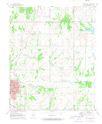
1972 · Wewoka East
USGS Topo · 1:24,000