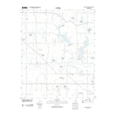
2009 Map of Wewoka West
USGS Topo · Published 2009About this map
Lima sits at the heart of this landscape, surrounded by an extensive network of flood control structures and reservoirs that characterize the modern drainage of Seminole County. The map details a sophisticated water management system along Big Wewoka Creek and its tributaries, including substantial bodies of water like Sportsman Lake, Wewoka Lake, and Danielson Lake. This 2008-era topography reveals a rural Oklahoma community defined by its cemeteries and quiet intersections, such as Sweutka Cemetery in the northwest and Ong Cemetery to the south. The area is intersected by major transit corridors including US Highway 270 Business and Old US Highway 270, which trace the historical movement patterns through the region. Several numbered dams, from Site 13 to Site 27, illustrate the intensive engineering efforts to manage the flow of Wewoka Creek and its smaller branches like Tiger Creek and Coon Creek.
Find a feature on this map
53 named features on this map. Tap any name to fly to it.
Don’t see what you’re looking for? This feature index may not catch every label — zoom into the map to look around manually.
Map Details
Editions of this 2009 Wewoka West Map
This is the sole edition of this map. No revisions or reprints were ever made.
Other maps of this area

1896 · Seminole and Prague
USGS Topo · 1:125,000

1900 · Wewoka
USGS Topo · 1:125,000

1954 · Oklahoma City
USGS Topo · 1:250,000

1957 · Oklahoma City
USGS Topo · 1:250,000

1963 · Oklahoma City
USGS Topo · 1:250,000

1967 · Cromwell
USGS Topo · 1:24,000

1967 · Prague SW
USGS Topo · 1:24,000

1967 · Prague SE
USGS Topo · 1:24,000
1972 · Seminole
USGS Topo · 1:24,000
1972 · Wewoka West
USGS Topo · 1:24,000