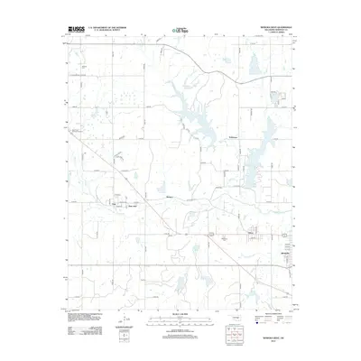
2012 Map of Wewoka West
USGS Topo · Published 2012About this map
The Oklahoma communities of Lima and New Lima anchor the central portion of this Seminole County landscape, where the rural grid meets the winding waters of Wewoka Creek. In the eastern section, the city of Wewoka marks a significant population center, while smaller settlements like Nobletown, Indogco, and Dixon dot the surrounding countryside. This 2012 survey illustrates a region shaped by its water resources, notably the expansive Sportsman Lake and the smaller Wewoka Lake, which dominate the northeast. Local history is preserved through numerous family and community burial grounds, including Sweutka Cemetery in the north and Westwood Cemetery near the southern boundary. The presence of Rest Haven Memorial Gardens and Ong Cemetery further reflects the established genealogical footprint of the area. A network of county roads, such as Lake Road and Old US Highway 270, provides the infrastructure connecting these historic settlements and recreational lakes.
Find a feature on this map
65 named features on this map. Tap any name to fly to it.
Don’t see what you’re looking for? This feature index may not catch every label — zoom into the map to look around manually.
Map Details
Editions of this 2012 Wewoka West Map
This is the sole edition of this map. No revisions or reprints were ever made.
Other maps of this area

1896 · Seminole and Prague
USGS Topo · 1:125,000

1900 · Wewoka
USGS Topo · 1:125,000

1954 · Oklahoma City
USGS Topo · 1:250,000

1957 · Oklahoma City
USGS Topo · 1:250,000

1963 · Oklahoma City
USGS Topo · 1:250,000

1967 · Cromwell
USGS Topo · 1:24,000

1967 · Prague SW
USGS Topo · 1:24,000

1967 · Prague SE
USGS Topo · 1:24,000
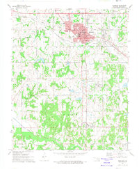
1972 · Seminole
USGS Topo · 1:24,000
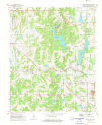
1972 · Wewoka West
USGS Topo · 1:24,000