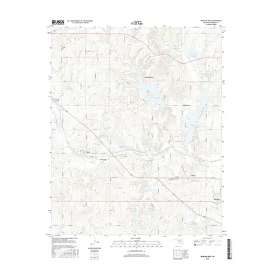
2016 Map of Wewoka West
USGS Topo · Published 2016About this map
Wewoka Creek and its many tributary reservoirs dominate this section of Seminole County, reflecting a landscape defined by water management and rural communities. The map highlights several small settlements and neighborhoods, including Lima, New Lima, and Nobletown, which are connected by a dense grid of rural roads such as EW 1260 Road and NS 3610 Road. Large water bodies like Wewoka Lake, Sportsman Lake, and Danielson Lake serve as major geographical anchors among the undulating terrain.
Find a feature on this map
87 named features on this map. Tap any name to fly to it.
Don’t see what you’re looking for? This feature index may not catch every label — zoom into the map to look around manually.
Map Details
Editions of this 2016 Wewoka West Map
This is the sole edition of this map. No revisions or reprints were ever made.
Other maps of this area

1896 · Seminole and Prague
USGS Topo · 1:125,000

1900 · Wewoka
USGS Topo · 1:125,000

1954 · Oklahoma City
USGS Topo · 1:250,000

1957 · Oklahoma City
USGS Topo · 1:250,000

1963 · Oklahoma City
USGS Topo · 1:250,000

1967 · Cromwell
USGS Topo · 1:24,000

1967 · Prague SW
USGS Topo · 1:24,000

1967 · Prague SE
USGS Topo · 1:24,000
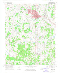
1972 · Seminole
USGS Topo · 1:24,000
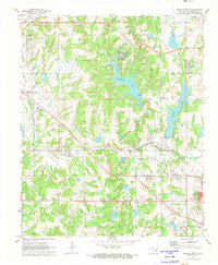
1972 · Wewoka West
USGS Topo · 1:24,000