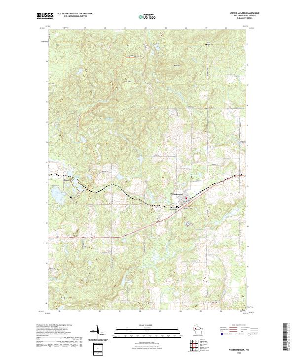
2022 Map of Weyerhaeuser
USGS Topo · Published 2022About this map
The village of Weyerhaeuser serves as the focal point of this Rusk County landscape, where the local transportation network transitions from paved county highways to an intricate grid of rural township roads. The area's cultural history is preserved in several burial grounds, including the Polish Cem and Maple Valley Cem, reflecting the heritage of early settlers in northwestern Wisconsin.
Find a feature on this map
58 named features on this map. Tap any name to fly to it.
Don’t see what you’re looking for? This feature index may not catch every label — zoom into the map to look around manually.
Map Details
Editions of this 2022 Weyerhaeuser Map
This is the sole edition of this map. No revisions or reprints were ever made.
Other maps of this area

1945 · Meteor
USGS Topo · 1:48,000

1948 · Weyerhauser
USGS Topo · 1:48,000

1949 · Meteor
USGS Topo · 1:48,000

1949 · Rice Lake
USGS Topo · 1:48,000

1950 · Weyerhauser
USGS Topo · 1:48,000

1951 · Rice Lake
USGS Topo · 1:48,000

1951 · Chetek
USGS Topo · 1:62,500

1953 · Rice Lake
USGS Topo · 1:250,000

1959 · Rice Lake
USGS Topo · 1:250,000

1965 · Rice Lake
USGS Topo · 1:62,500