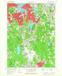
1958 Map of Weymouth
USGS Topo · Published 1966About this map
The Weymouth Fore River and Weymouth Back River define this coastal landscape, framing a densely developed corridor of South Shore communities during the late 1950s. From the industrial waterfronts of Quincy Point and Germantown to the residential centers of East Braintree and North Weymouth, the map shows a period of significant post-war infrastructure. Large-scale military and public works are prominent, most notably the U S Naval Reservation South Weymouth Air Station and the sprawling U S Naval Reservation near Beal Cove.
Find a feature on this map
108 named features on this map. Tap any name to fly to it.
Don’t see what you’re looking for? This feature index may not catch every label — zoom into the map to look around manually.
Map Details
Editions of this 1958 Weymouth Map
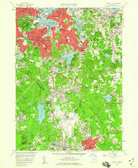
2 editions found
Other maps of this area

1885 · Abington
USGS Topo · 1:62,500

1886 · Dedham
USGS Topo · 1:62,500

1888 · Abington
USGS Topo · 1:62,500

1892 · Boston Bay
USGS Topo · 1:62,500

1893 · Abington
USGS Topo · 1:62,500

1893 · Boston
USGS Topo · 1:62,500

1894 · Dedham
USGS Topo · 1:62,500

1903 · Boston
USGS Topo · 1:62,500

1903 · Boston Bay
USGS Topo · 1:62,500

1919 · Dedham
USGS Topo · 1:62,500