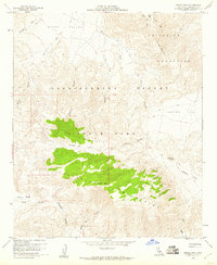
1959 Map of Whale Peak
USGS Topo · Published 1960About this map
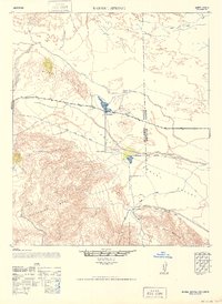
Vallecito Mountains dominate this 1959 survey of the California desert, centered on the prominent Whale Peak. Much of the land is preserved within Anza-Borrego Desert State Park, where the landscape is defined by extensive dry washes and alluvial fans like Mescal Bajada. Human presence is marked by indigenous history and early backcountry travel, evidenced by the Split Rock Petroglyphs and additional Petroglyphs in Little Blair Valley. These cultural sites sit alongside the sparse remains of 20th-century exploration, including a Mine and various primitive routes such as the Chuckwalla Jeep Trail. The map details a complex network of seasonal drainages, including Nolina Wash and June Wash, which carve through high desert flats and valleys. The presence of Blue Spring in Bighorn Canyon highlights the rare and vital water sources that dictated movement through this arid region.
Find a feature on this map
24 named features on this map. Tap any name to fly to it.
Don’t see what you’re looking for? This feature index may not catch every label — zoom into the map to look around manually.
Map Details
Editions of this 1959 Whale Peak Map
4 editions found
Other maps of this area

1931 · Vallecito
USGS Topo · 1:125,000

1931 · Carrizo
USGS Topo · 1:125,000

1939 · Borrego
USGS Topo · 1:62,500

1942 · Barrel Spring
USGS Topo · 1:62,500

1942 · Borego
USGS Topo · 1:62,500

1942 · Carrizo Mtn
USGS Topo · 1:62,500

1942 · Cuyapaipe
USGS Topo · 1:62,500

1943 · Vallecito
USGS Topo · 1:125,000

1947 · Santa Ana
USGS Topo · 1:250,000
1947 · Barrel Spring
USGS Topo · 1:62,500