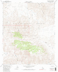
1959 Map of Whale Peak
USGS Topo · Published 1986About this map
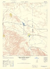
Anza-Borrego Desert State Park encompasses this mid-century topographic survey, revealing a landscape defined by dramatic elevation changes between the Pinyon Mountains and the Vallecito Mountains. The map provides specific evidence of indigenous and early human history through the location of Petroglyphs and a Tunnel, while the presence of a Mine and numerous Jeep Trails indicates early 20th-century exploration and resource extraction.
Find a feature on this map
27 named features on this map. Tap any name to fly to it.
Don’t see what you’re looking for? This feature index may not catch every label — zoom into the map to look around manually.
Map Details
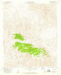
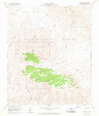
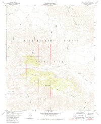
Editions of this 1959 Whale Peak Map
4 editions found
Other maps of this area

1931 · Vallecito
USGS Topo · 1:125,000

1931 · Carrizo
USGS Topo · 1:125,000

1939 · Borrego
USGS Topo · 1:62,500

1942 · Barrel Spring
USGS Topo · 1:62,500

1942 · Borego
USGS Topo · 1:62,500

1942 · Carrizo Mtn
USGS Topo · 1:62,500

1942 · Cuyapaipe
USGS Topo · 1:62,500

1943 · Vallecito
USGS Topo · 1:125,000

1947 · Santa Ana
USGS Topo · 1:250,000
1947 · Barrel Spring
USGS Topo · 1:62,500