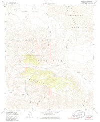
1959 Map of Whale Peak
USGS Topo · Published 1986About this map
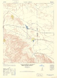
Anza Borrego Desert State Park encompasses this arid landscape, dominated by the Vallecito Mountains and the prominent summit of Whale Peak. The map records an intricate network of desert hydrology, from the wide Mescal Bajada in the north to numerous drainages like Chuckwalla Wash and Bisnaga Alta Wash. Human presence is marked by a series of primitive routes, including several labeled Jeep Trails, and a notable unnamed Mine situated near the head of a canyon in the northwest.
Find a feature on this map
29 named features on this map. Tap any name to fly to it.
Don’t see what you’re looking for? This feature index may not catch every label — zoom into the map to look around manually.
Map Details
Editions of this 1959 Whale Peak Map
4 editions found
Other maps of this area

1931 · Vallecito
USGS Topo · 1:125,000

1931 · Carrizo
USGS Topo · 1:125,000

1939 · Borrego
USGS Topo · 1:62,500

1942 · Barrel Spring
USGS Topo · 1:62,500

1942 · Borego
USGS Topo · 1:62,500

1942 · Carrizo Mtn
USGS Topo · 1:62,500

1942 · Cuyapaipe
USGS Topo · 1:62,500

1943 · Vallecito
USGS Topo · 1:125,000

1947 · Santa Ana
USGS Topo · 1:250,000
1947 · Barrel Spring
USGS Topo · 1:62,500