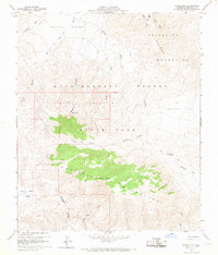
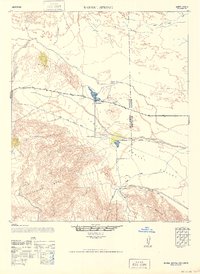
1959 Map of Whale Peak
USGS Topo · Published 1968About this map
Anza-Borrego Desert State Park preserves a landscape defined by dramatic geological transitions, centered on the high point of Whale Peak. This late 1950s survey captures the area at a time when access was primarily via a network of unnamed jeep trails that thread through the Pinyon Mountains and Vallecito Mountains. For those tracing local history and archaeology, the map marks significant cultural sites including the Split Rock Petroglyphs and additional Petroglyphs near Little Blair Valley. The terrain is characterized by broad alluvial features like the Mescal Bajada and deep drainages such as Smuggler Canyon and Bighorn Canyon. Rare water sources like Blue Spring and named flats such as Hapaha Flat provide critical context for the movement of people and livestock through this arid environment before modern recreational infrastructure became widespread.
Find a feature on this map
26 named features on this map. Tap any name to fly to it.
Don’t see what you’re looking for? This feature index may not catch every label — zoom into the map to look around manually.
Map Details
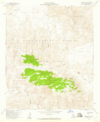
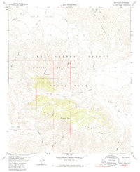
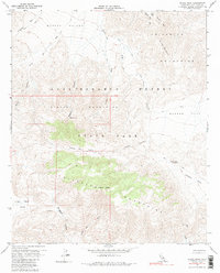
Editions of this 1959 Whale Peak Map
4 editions found
Other maps of this area

1931 · Vallecito
USGS Topo · 1:125,000

1931 · Carrizo
USGS Topo · 1:125,000

1939 · Borrego
USGS Topo · 1:62,500

1942 · Barrel Spring
USGS Topo · 1:62,500

1942 · Borego
USGS Topo · 1:62,500

1942 · Carrizo Mtn
USGS Topo · 1:62,500

1942 · Cuyapaipe
USGS Topo · 1:62,500

1943 · Vallecito
USGS Topo · 1:125,000

1947 · Santa Ana
USGS Topo · 1:250,000
1947 · Barrel Spring
USGS Topo · 1:62,500