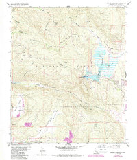
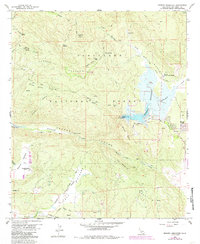
1960 Map of Morena Reservoir
USGS Topo · Published 1988About this map
Morena Reservoir anchors this landscape in the southern California backcountry, serving as a primary water source and focal point within the Cleveland National Forest. The map detail captures the remote character of the region as it appeared mid-century, defined by rugged drainages such as Hauser Canyon and Stokes Valley. High-elevation landmarks like Los Pinos Mtn and Spring Mountain overlook a network of specialized outposts, including the Morena Conservation Camp and the Corral Canyon Fire Station.
Find a feature on this map
44 named features on this map. Tap any name to fly to it.
Don’t see what you’re looking for? This feature index may not catch every label — zoom into the map to look around manually.
Map Details
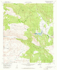
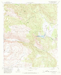
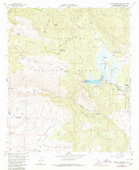
Editions of this 1960 Morena Reservoir Map
5 editions found
Other maps of this area

1903 · Cuyamaca
USGS Topo · 1:125,000

1904 · Southern California Sheet No. 2
USGS Topo · 1:250,000

1931 · Carrizo
USGS Topo · 1:125,000

1939 · Campo
USGS Topo · 1:62,500

1942 · Potrero
USGS Topo · 1:48,000

1942 · Campo
USGS Topo · 1:62,500

1942 · Cuyapaipe
USGS Topo · 1:62,500

1942 · Cuyamaca Peak
USGS Topo · 1:62,500

1944 · Potrero
USGS Topo · 1:62,500

1944 · Cuyamaca Peak
USGS Topo · 1:62,500