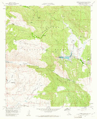
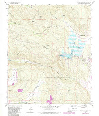
1960 Map of Morena Reservoir
USGS Topo · Published 1961About this map
Morena Reservoir dominates the eastern portion of this 1960s survey, showing the man-made shoreline and the small settlement of Morena Village along its southern edge. The landscape is defined by the Cleveland National Forest, where a network of primitive roads and fire lookouts, such as the one atop Los Pinos Mtn, managed the vast backcountry. To the south, Hauser Canyon and Hauser Creek carve through the terrain, punctuated by the Marine Memorial.
Find a feature on this map
54 named features on this map. Tap any name to fly to it.
Don’t see what you’re looking for? This feature index may not catch every label — zoom into the map to look around manually.
Map Details
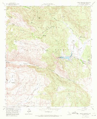
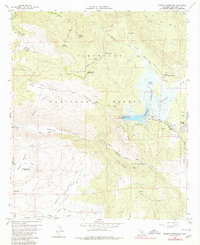
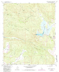
Editions of this 1960 Morena Reservoir Map
5 editions found
Other maps of this area

1903 · Cuyamaca
USGS Topo · 1:125,000

1904 · Southern California Sheet No. 2
USGS Topo · 1:250,000

1931 · Carrizo
USGS Topo · 1:125,000

1939 · Campo
USGS Topo · 1:62,500

1942 · Potrero
USGS Topo · 1:48,000

1942 · Campo
USGS Topo · 1:62,500

1942 · Cuyapaipe
USGS Topo · 1:62,500

1942 · Cuyamaca Peak
USGS Topo · 1:62,500

1944 · Potrero
USGS Topo · 1:62,500

1944 · Cuyamaca Peak
USGS Topo · 1:62,500