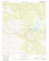
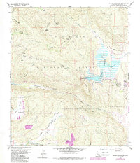
1960 Map of Morena Reservoir
USGS Topo · Published 1980About this map
Morena Reservoir and the adjacent Morena Village form the centerpiece of this mid-century survey of the Cleveland National Forest back-country. The landscape is defined by its water management and forestry infrastructure, from the Los Pinos Mtn Lookout watching over the high ridges to the Corral Canyon Forest Sta and the Morena Conservation Camp. Significant drainages like Cottonwood Creek and Hauser Creek carve through the canyons, while the Marine Memorial near Hauser Canyon provides a specific point of local historical interest. Transportation in this era relied on a network of unpaved tracks and trails, including the Pine Creek Trail and Stokes Valley Road, alongside a small Airstrip to the east. The map records the Normal Pool Elevation 2954 of the reservoir, illustrating the area’s role in regional water storage during the late 1950s.
Find a feature on this map
48 named features on this map. Tap any name to fly to it.
Don’t see what you’re looking for? This feature index may not catch every label — zoom into the map to look around manually.
Map Details
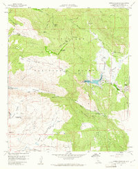
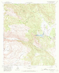
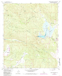
Editions of this 1960 Morena Reservoir Map
5 editions found
Other maps of this area

1903 · Cuyamaca
USGS Topo · 1:125,000

1904 · Southern California Sheet No. 2
USGS Topo · 1:250,000

1931 · Carrizo
USGS Topo · 1:125,000

1939 · Campo
USGS Topo · 1:62,500

1942 · Potrero
USGS Topo · 1:48,000

1942 · Campo
USGS Topo · 1:62,500

1942 · Cuyapaipe
USGS Topo · 1:62,500

1942 · Cuyamaca Peak
USGS Topo · 1:62,500

1944 · Potrero
USGS Topo · 1:62,500

1944 · Cuyamaca Peak
USGS Topo · 1:62,500