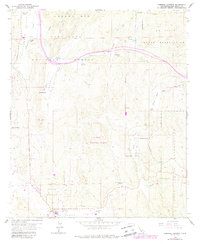
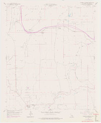
1959 Map of Cameron Corners
USGS Topo · Published 1988About this map
The Cleveland National Forest anchors this southern California landscape, which is defined by the high-elevation terrain of the Laguna Mts. The map reveals a complex intersection of tribal lands and federal utility, where the La Posta Indian Reservation and Campo Indian Reservation border the La Posta Microwave Station. Settlement patterns follow the valley floors, with small hubs like Morena Village and Cameron Corners providing focal points for the surrounding ranching and government operations.
Find a feature on this map
57 named features on this map. Tap any name to fly to it.
Don’t see what you’re looking for? This feature index may not catch every label — zoom into the map to look around manually.
Map Details
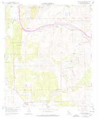
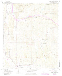
Editions of this 1959 Cameron Corners Map
7 editions found
Other maps of this area

1903 · Cuyamaca
USGS Topo · 1:125,000

1904 · Southern California Sheet No. 2
USGS Topo · 1:250,000

1931 · Carrizo
USGS Topo · 1:125,000

1939 · Campo
USGS Topo · 1:62,500

1942 · Potrero
USGS Topo · 1:48,000

1942 · Campo
USGS Topo · 1:62,500

1942 · Cuyapaipe
USGS Topo · 1:62,500

1942 · Cuyamaca Peak
USGS Topo · 1:62,500

1944 · Potrero
USGS Topo · 1:62,500

1944 · Cuyamaca Peak
USGS Topo · 1:62,500