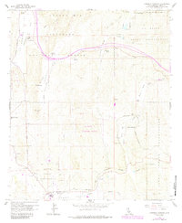
1959 Map of Cameron Corners
USGS Topo · Published 1985About this map
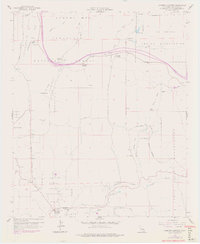
La Posta Indian Reservation and the Campo Indian Reservation occupy significant portions of this Southern California landscape, where the Laguna Mts meet the high desert valleys. The 1959 survey, updated in the early 1980s, documents a transition in land use from traditional ranching at La Posta Ranch and Miller Ranch to modern infrastructure such as the La Posta Microwave Station and a Heliport near the Cameron Guard Sta.
Find a feature on this map
59 named features on this map. Tap any name to fly to it.
Don’t see what you’re looking for? This feature index may not catch every label — zoom into the map to look around manually.
Map Details
Editions of this 1959 Cameron Corners Map
7 editions found
Other maps of this area

1903 · Cuyamaca
USGS Topo · 1:125,000

1904 · Southern California Sheet No. 2
USGS Topo · 1:250,000

1931 · Carrizo
USGS Topo · 1:125,000

1939 · Campo
USGS Topo · 1:62,500

1942 · Potrero
USGS Topo · 1:48,000

1942 · Campo
USGS Topo · 1:62,500

1942 · Cuyapaipe
USGS Topo · 1:62,500

1942 · Cuyamaca Peak
USGS Topo · 1:62,500

1944 · Potrero
USGS Topo · 1:62,500

1944 · Cuyamaca Peak
USGS Topo · 1:62,500