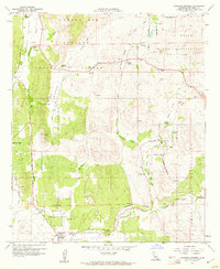
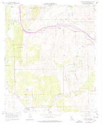
1959 Map of Cameron Corners
USGS Topo · Published 1961About this map
The Laguna Mts landscape of southern San Diego County is captured here in the late 1950s, defined by the intersection of mountain valleys and high-desert ranching life. This area was a critical transit corridor, evidenced by the path of the San Diego and Arizona Eastern railway and the cluster of activity at Cameron Corners. The map documents a significant indigenous footprint, showing the boundaries and interior tracts of the La Posta Indian Reservation and Campo Indian Reservation.
Find a feature on this map
31 named features on this map. Tap any name to fly to it.
Don’t see what you’re looking for? This feature index may not catch every label — zoom into the map to look around manually.
Map Details
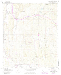
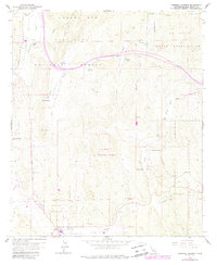
Editions of this 1959 Cameron Corners Map
7 editions found
Other maps of this area

1903 · Cuyamaca
USGS Topo · 1:125,000

1904 · Southern California Sheet No. 2
USGS Topo · 1:250,000

1931 · Carrizo
USGS Topo · 1:125,000

1939 · Campo
USGS Topo · 1:62,500

1942 · Potrero
USGS Topo · 1:48,000

1942 · Campo
USGS Topo · 1:62,500

1942 · Cuyapaipe
USGS Topo · 1:62,500

1942 · Cuyamaca Peak
USGS Topo · 1:62,500

1944 · Potrero
USGS Topo · 1:62,500

1944 · Cuyamaca Peak
USGS Topo · 1:62,500