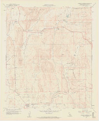
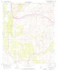
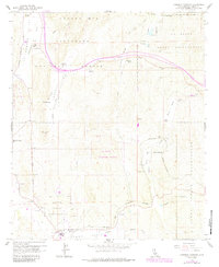
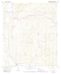
1959 Map of Cameron Corners
USGS Topo · Published 1961About this map
Campo Indian Reservation and the La Posta Indian Reservation dominate this landscape within the Cleveland National Forest. The map documents a mid-century period of rural life in eastern San Diego County, centered on the small hub of Cameron Corners and the community of Morena Village. The infrastructure of the era is clearly visible, from the San Diego and Arizona Eastern rail line winding through the southern hills to the Cameron Guard Station and nearby Heliport. Local families and landholders are represented by several named landmarks, including Coogan Ranch, La Posta Ranch, and Miller Ranch situated near Miller Valley. Water management and natural resources are indicated by numerous labels for Springs, Wells, and a Gravel Pit, while a Cemetery and Forest Fire Station mark the social and administrative centers of the backcountry.
Find a feature on this map
38 named features on this map. Tap any name to fly to it.
Don’t see what you’re looking for? This feature index may not catch every label — zoom into the map to look around manually.
Map Details
Editions of this 1959 Cameron Corners Map
7 editions found
Other maps of this area

1903 · Cuyamaca
USGS Topo · 1:125,000

1904 · Southern California Sheet No. 2
USGS Topo · 1:250,000

1931 · Carrizo
USGS Topo · 1:125,000

1939 · Campo
USGS Topo · 1:62,500

1942 · Potrero
USGS Topo · 1:48,000

1942 · Campo
USGS Topo · 1:62,500

1942 · Cuyapaipe
USGS Topo · 1:62,500

1942 · Cuyamaca Peak
USGS Topo · 1:62,500

1944 · Potrero
USGS Topo · 1:62,500

1944 · Cuyamaca Peak
USGS Topo · 1:62,500