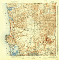
1903 Map of La Jolla
USGS Topo · Published 1942About this map
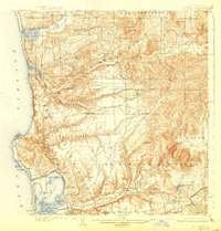
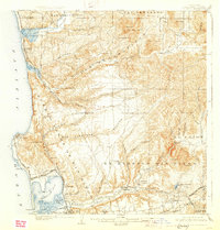
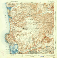
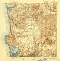
Camp Kearney sits atop the central mesas of this Southern California landscape, which was surveyed at the start of the 20th century and later updated to show the early urban expansion of San Diego. The coastline is defined by the distinct grid of La Jolla and the developing waterfront at Pacific Beach, while the Southern California R. R. follows the narrow canyons and coastal bluffs. Further inland, the map captures a network of rural settlements like Poway and Miramar connected by winding roads through Los Penasquitos Canyon and Rose Canyon. The southern edge reveals the historical core of the region at Old Town and the broad floodplains of the San Diego River and Mission Valley. Large land grants such as El Cajon and Ex Mission San Diego still dominate the parceling of the interior hills, providing a window into the transition from pastoral ranchos to organized townships.
Find a feature on this map
59 named features on this map. Tap any name to fly to it.
Don’t see what you’re looking for? This feature index may not catch every label — zoom into the map to look around manually.
Map Details
Editions of this 1903 La Jolla Map
9 editions found
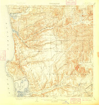
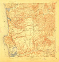
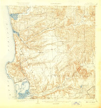
Other maps of this area

1893 · El Cajon
USGS Topo · 1:62,500

1893 · Oceanside
USGS Topo · 1:62,500

1893 · Escondido
USGS Topo · 1:62,500

1898 · Oceanside
USGS Topo · 1:62,500

1901 · Elcajon
USGS Topo · 1:62,500

1901 · Escondido
USGS Topo · 1:62,500

1901 · Oceanside
USGS Topo · 1:62,500

1901 · San Luis Rey
USGS Topo · 1:125,000

1903 · Cuyamaca
USGS Topo · 1:125,000

1903 · La Jolla
USGS Topo · 1:62,500