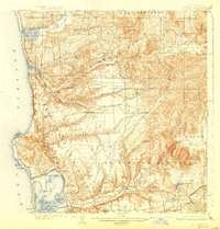
1903 Map of La Jolla
USGS Topo · Published 1927About this map
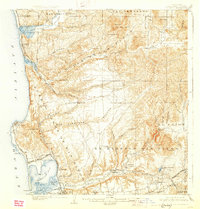
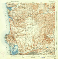
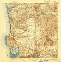
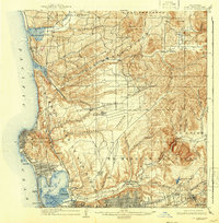
Old Town and North San Diego serve as the historical anchors of this coastal landscape, which was surveyed just after the turn of the century. The coastal corridor is defined by the Southern California R. R. Surf Line, which connects small rail-dependent settlements like Delmar, Sorrento, and Morena before skirting the edge of Mission Bay. In this era, the inland mesa and canyon country remained largely undeveloped, marked only by scattered outposts such as Miramar, Lindavista, and Merton.
Find a feature on this map
63 named features on this map. Tap any name to fly to it.
Don’t see what you’re looking for? This feature index may not catch every label — zoom into the map to look around manually.
Map Details
Editions of this 1903 La Jolla Map
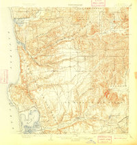
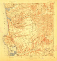
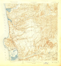
9 editions found
Other maps of this area

1893 · El Cajon
USGS Topo · 1:62,500

1893 · Oceanside
USGS Topo · 1:62,500

1893 · Escondido
USGS Topo · 1:62,500

1898 · Oceanside
USGS Topo · 1:62,500

1901 · Elcajon
USGS Topo · 1:62,500

1901 · Escondido
USGS Topo · 1:62,500

1901 · Oceanside
USGS Topo · 1:62,500

1901 · San Luis Rey
USGS Topo · 1:125,000

1903 · Cuyamaca
USGS Topo · 1:125,000

1903 · La Jolla
USGS Topo · 1:62,500